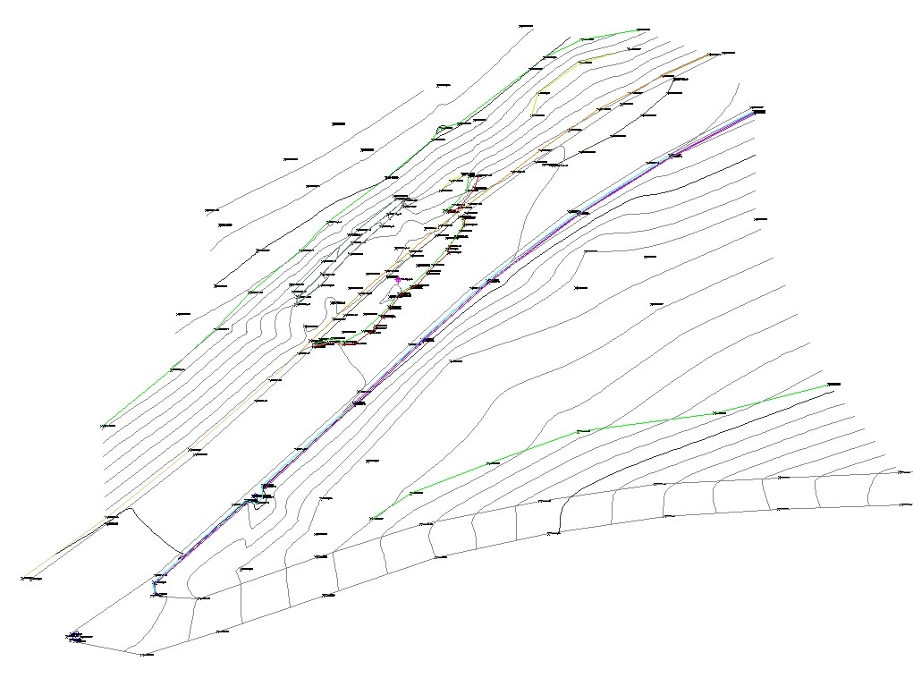
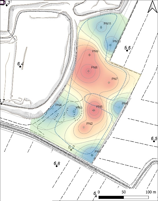
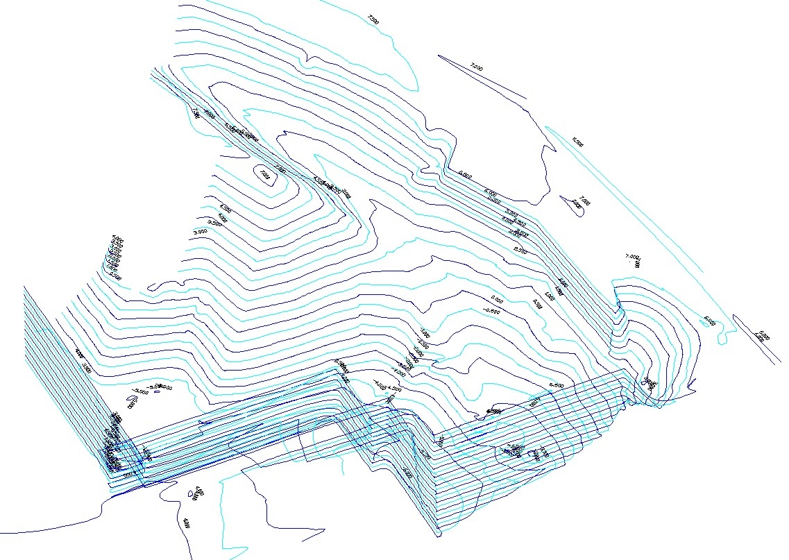
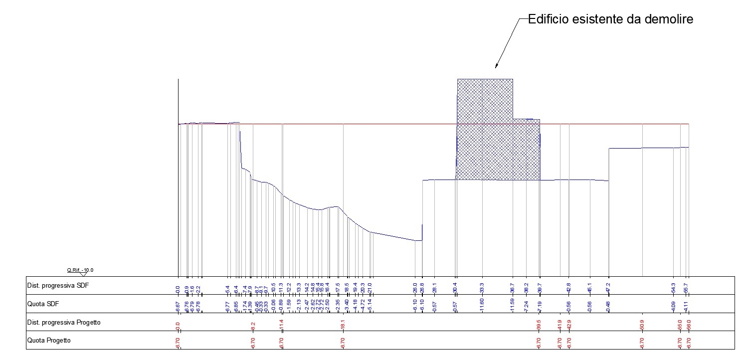
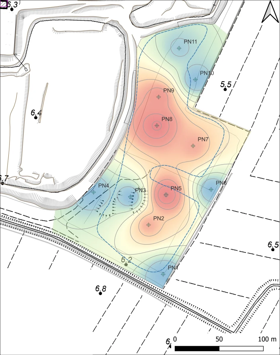
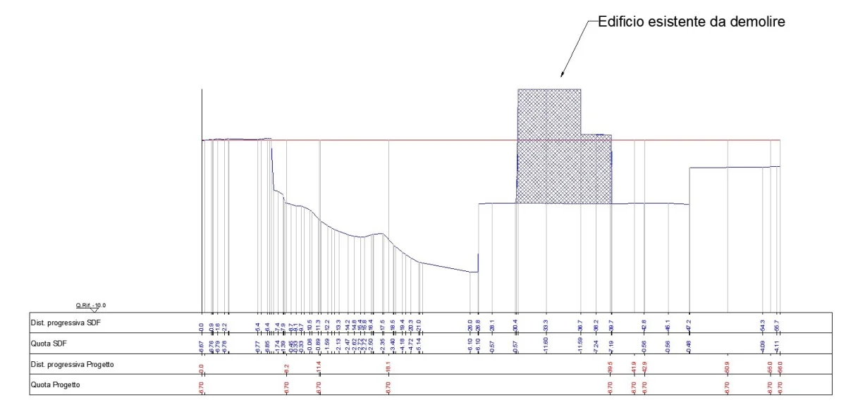
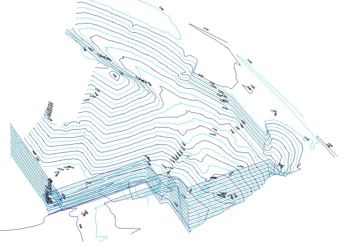
Geotea Srl performs topographic surveys in order to graphically and numerically represent the morphological particularities of the terrain and artifacts.
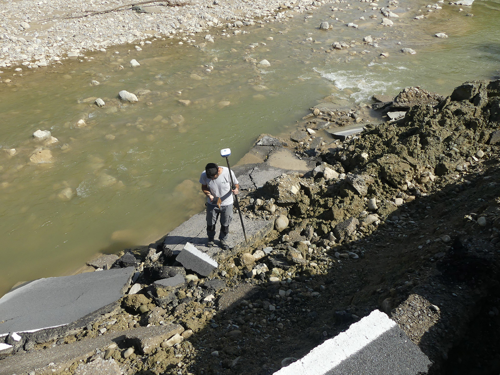
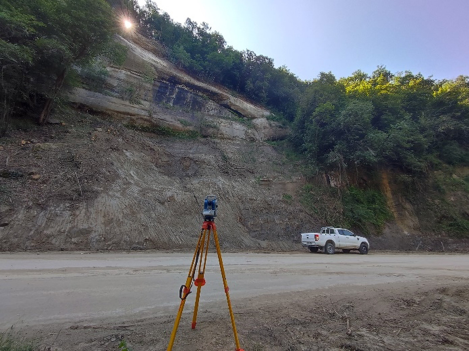
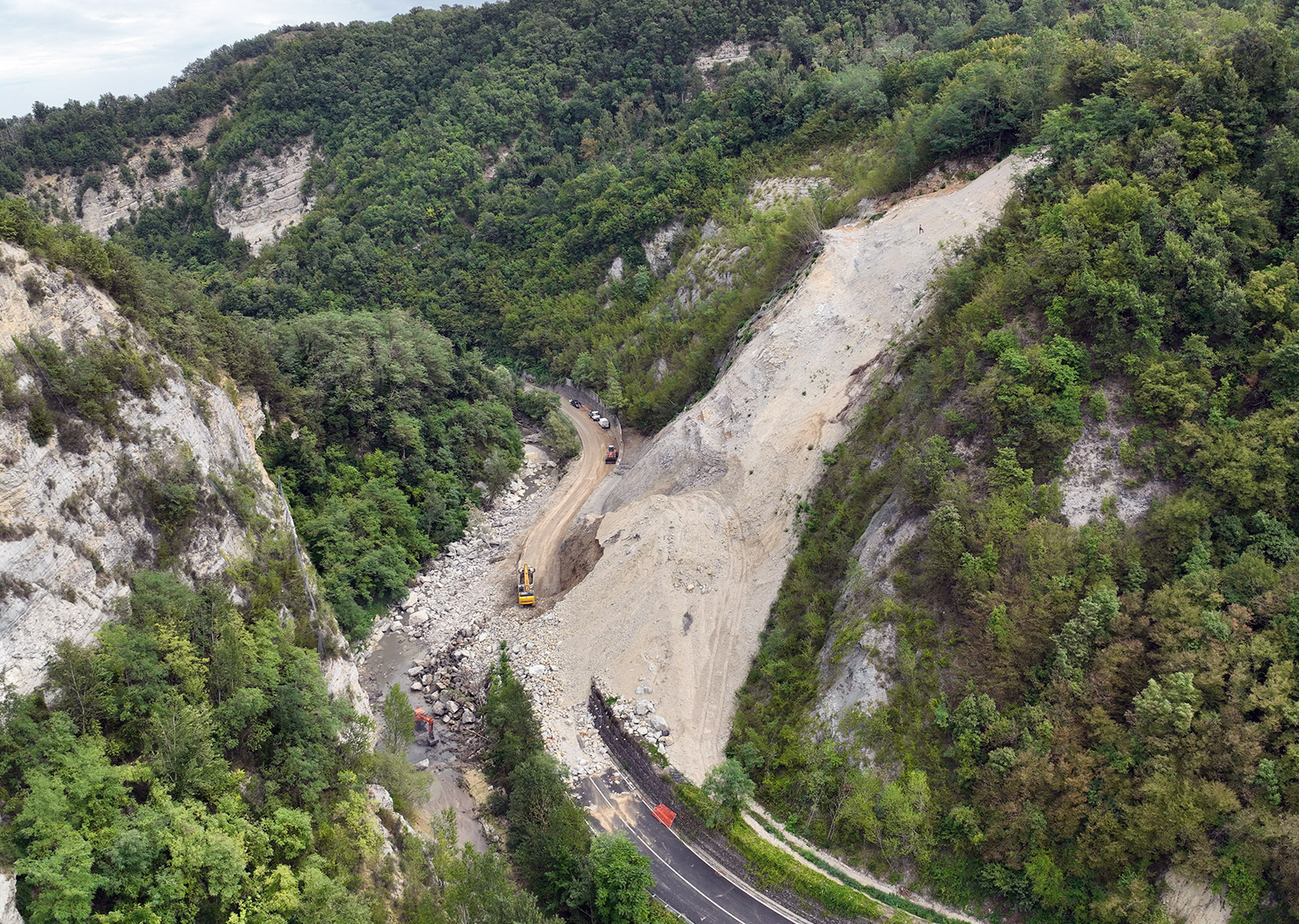
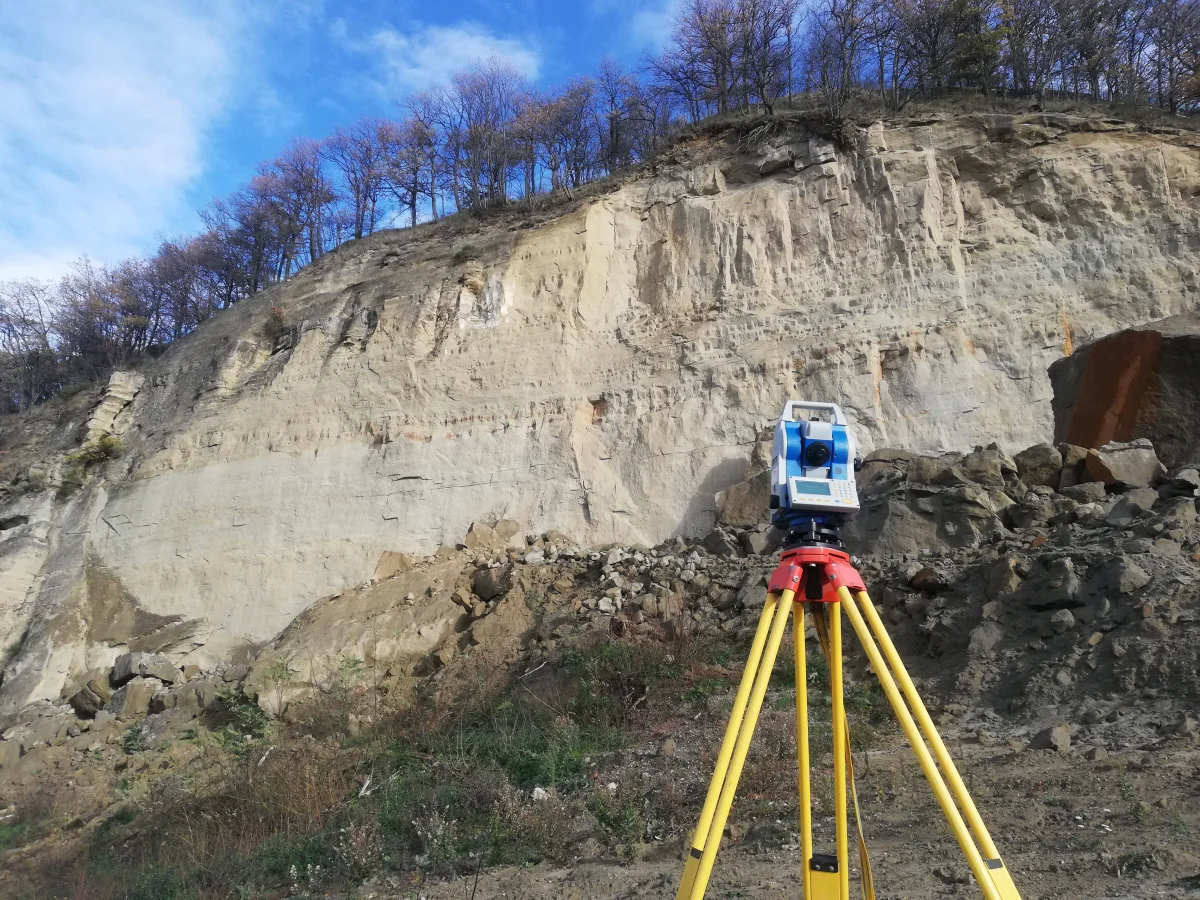
We are able to perform topographic surveys in easily accessible areas and in complex areas of hydrogeological risk (open pit quarries, surface landslides, rock collapses, riverbanks and riverbeds, debris flow, etc…)
In detail we are able to realize:
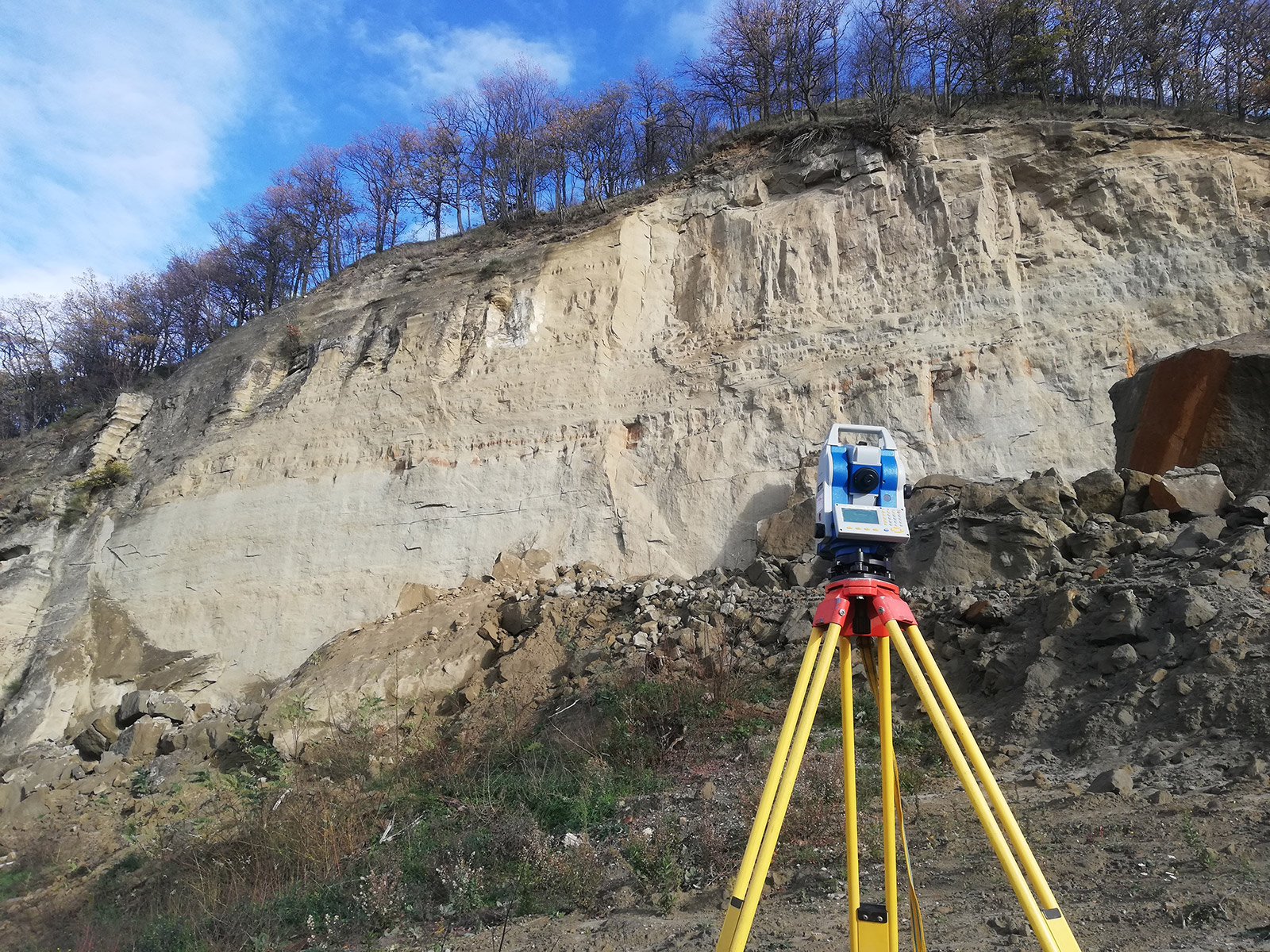
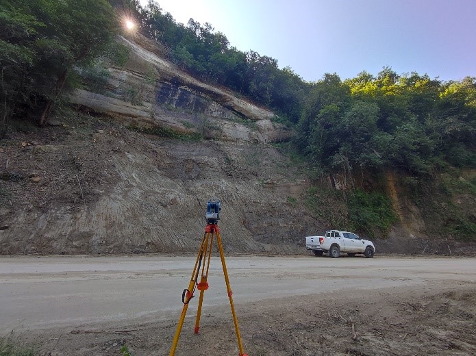
- celerimetric measurements with Total Station (with and without prism) in order to obtain extremely accurate data even at long distances;
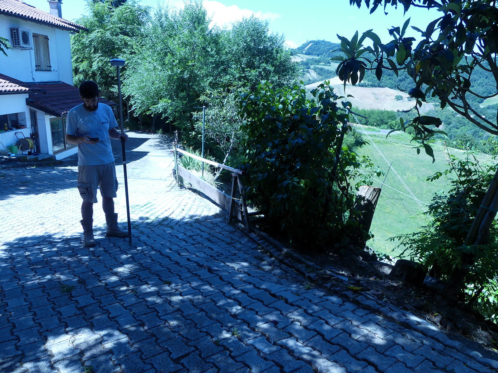
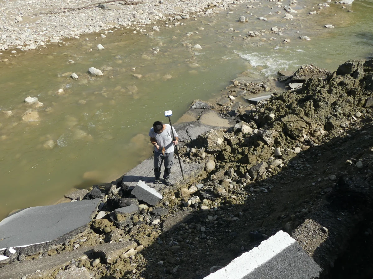
- satellite surveys with GNSS/RTK antenna which, by integrating the functions of satellite and terrestrial localization systems, allow global plano-altimetric positioning (georeferencing) while maintaining a good degree of accuracy. The Rover GPS Antenna allows extremely fast surveying and tracking compared to traditional instrumentation.
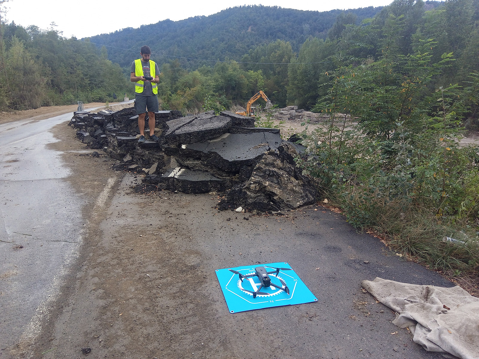
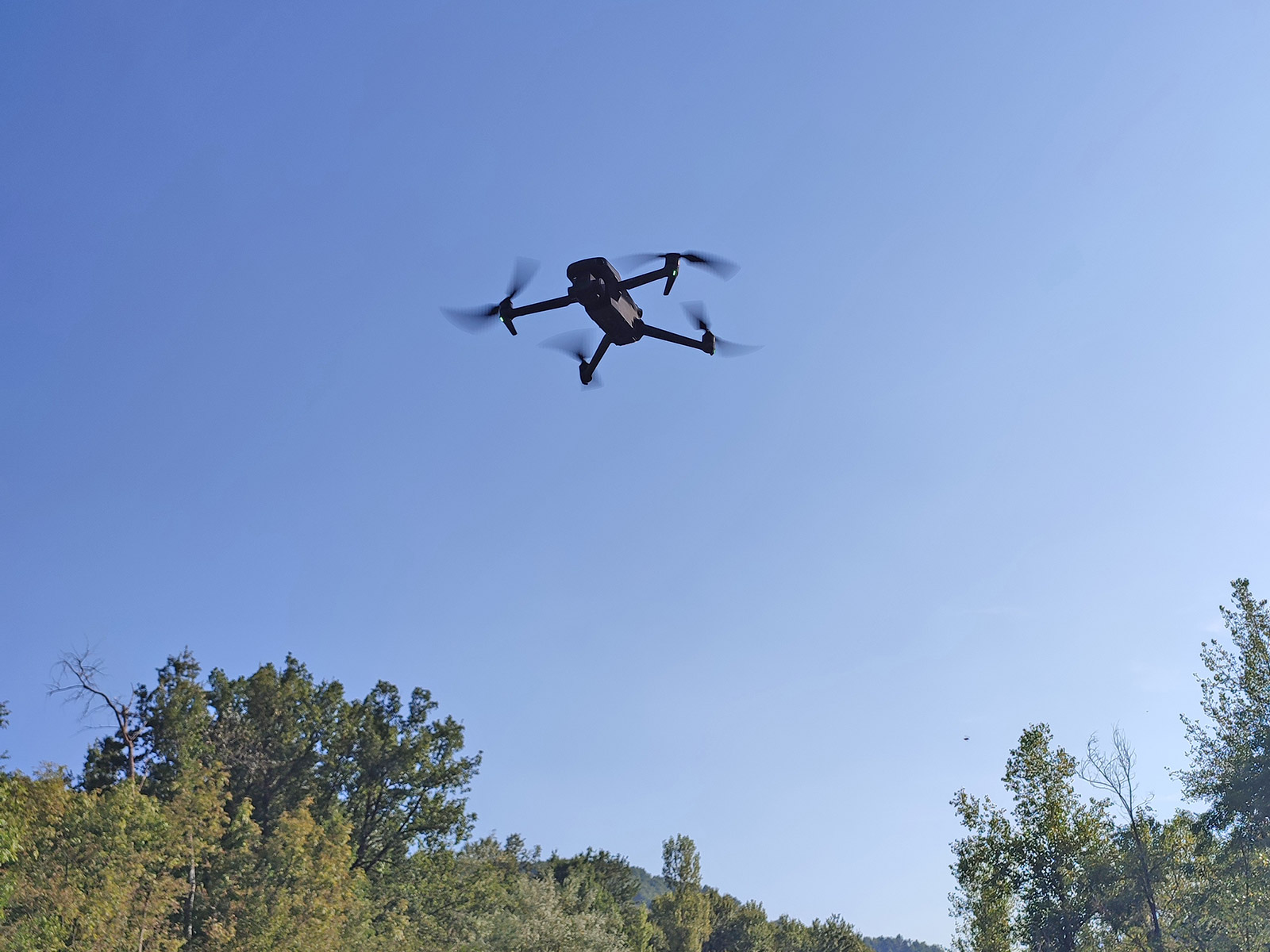
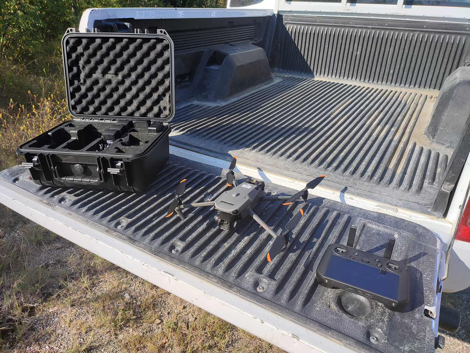
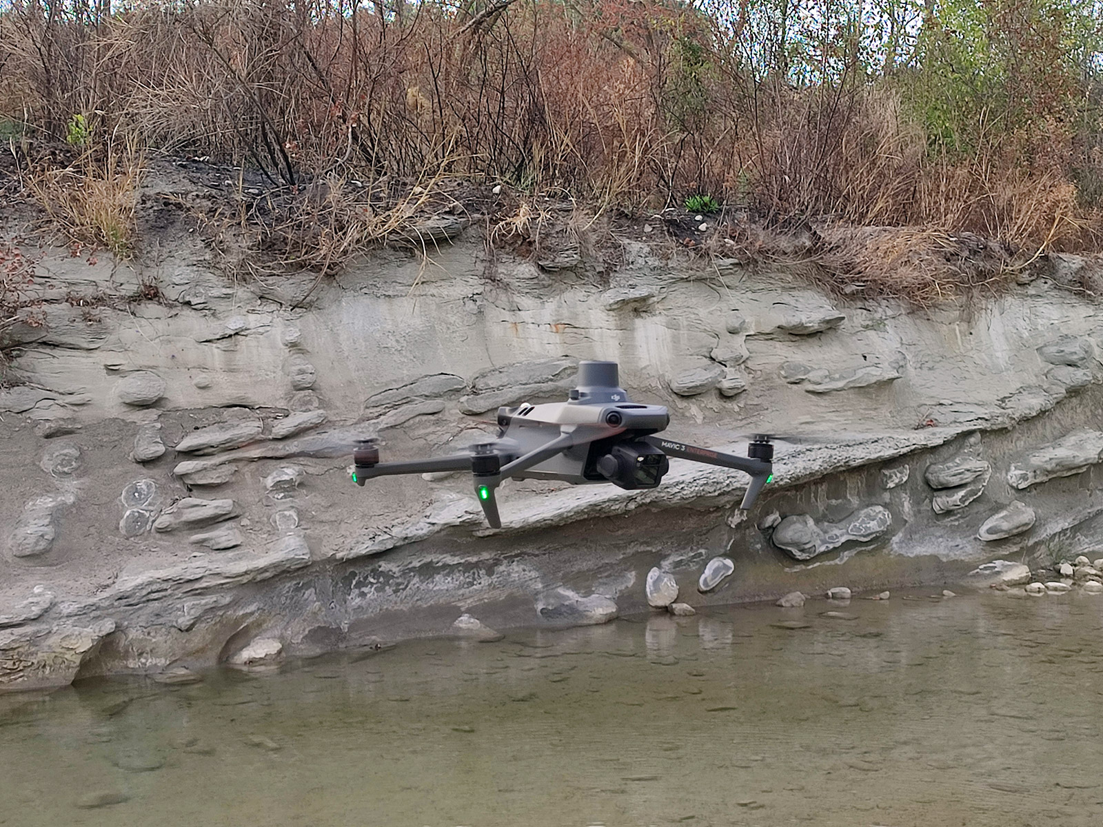
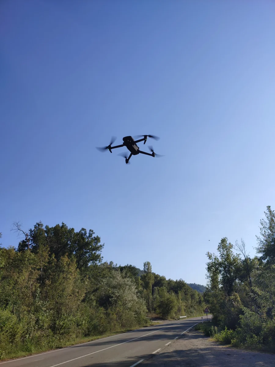
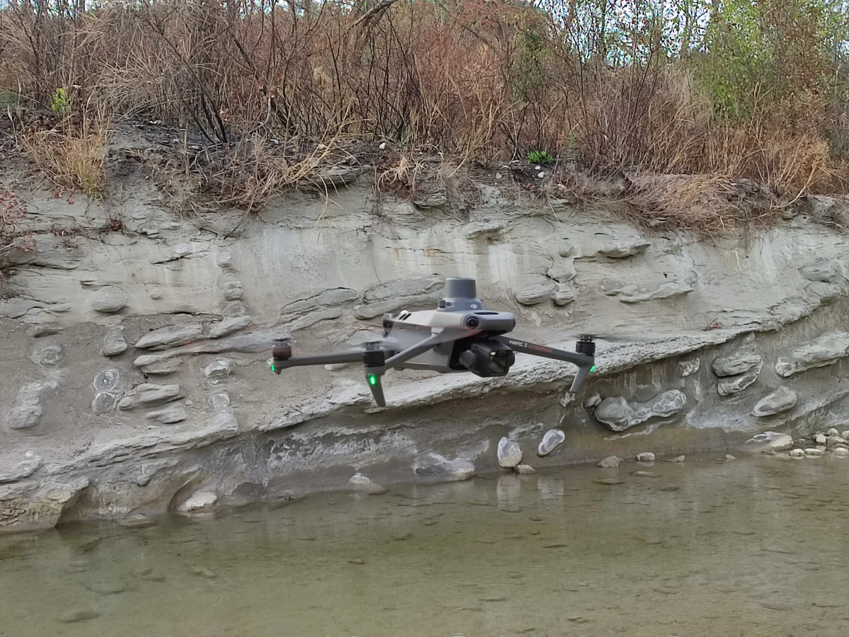
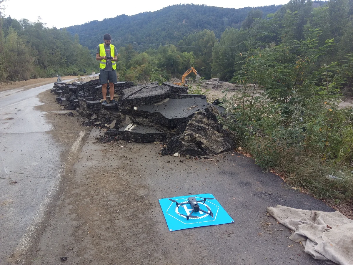
- aero-photogrammetric drone surveys. This tool è particularly advantageous when the area to be surveyed is inaccessible and/or dangerous (landslide bodies, riverbeds, quarry areas) and/or when the area to be surveyed is very large. Thanks to the onboard equipment of a’GPS/RTK antenna, surveys can be carried out with centimeter accuracy.
