Topography

Precision topographic leveling

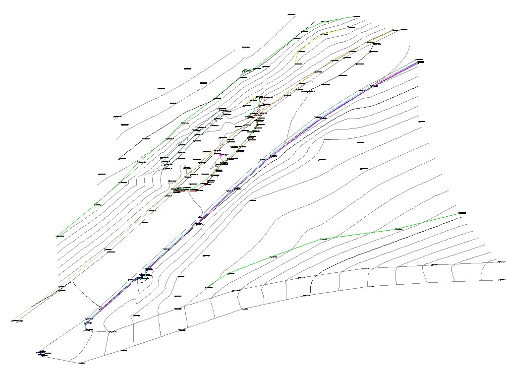
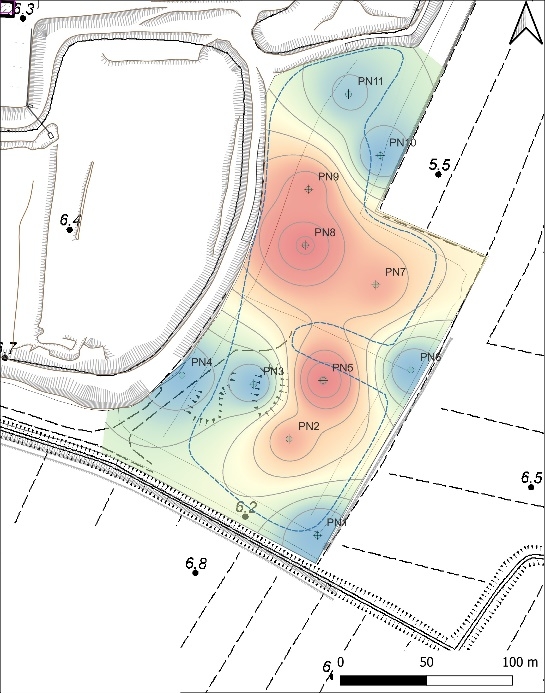
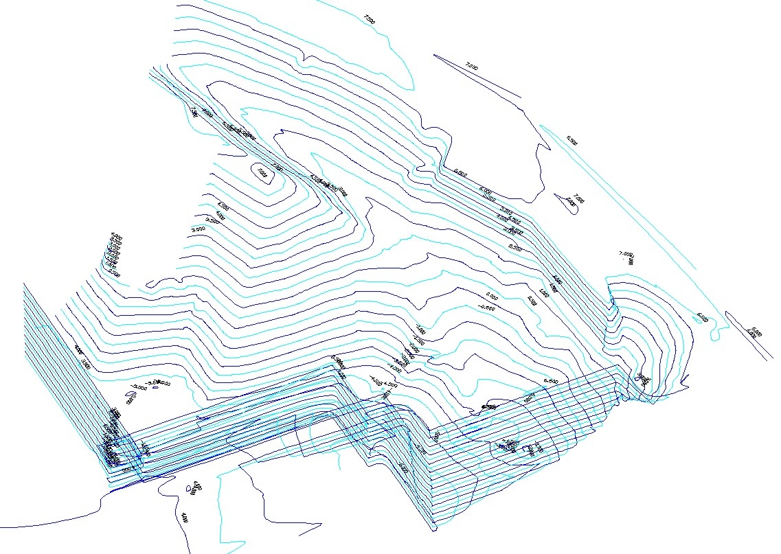
Geotea Srl performs topographic surveys in order to graphically and numerically represent the morphological particularities of the terrain and artifacts.

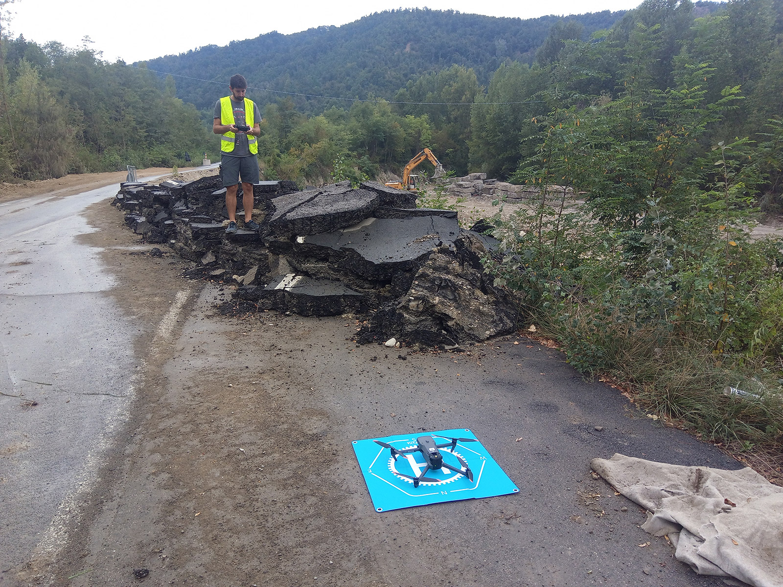
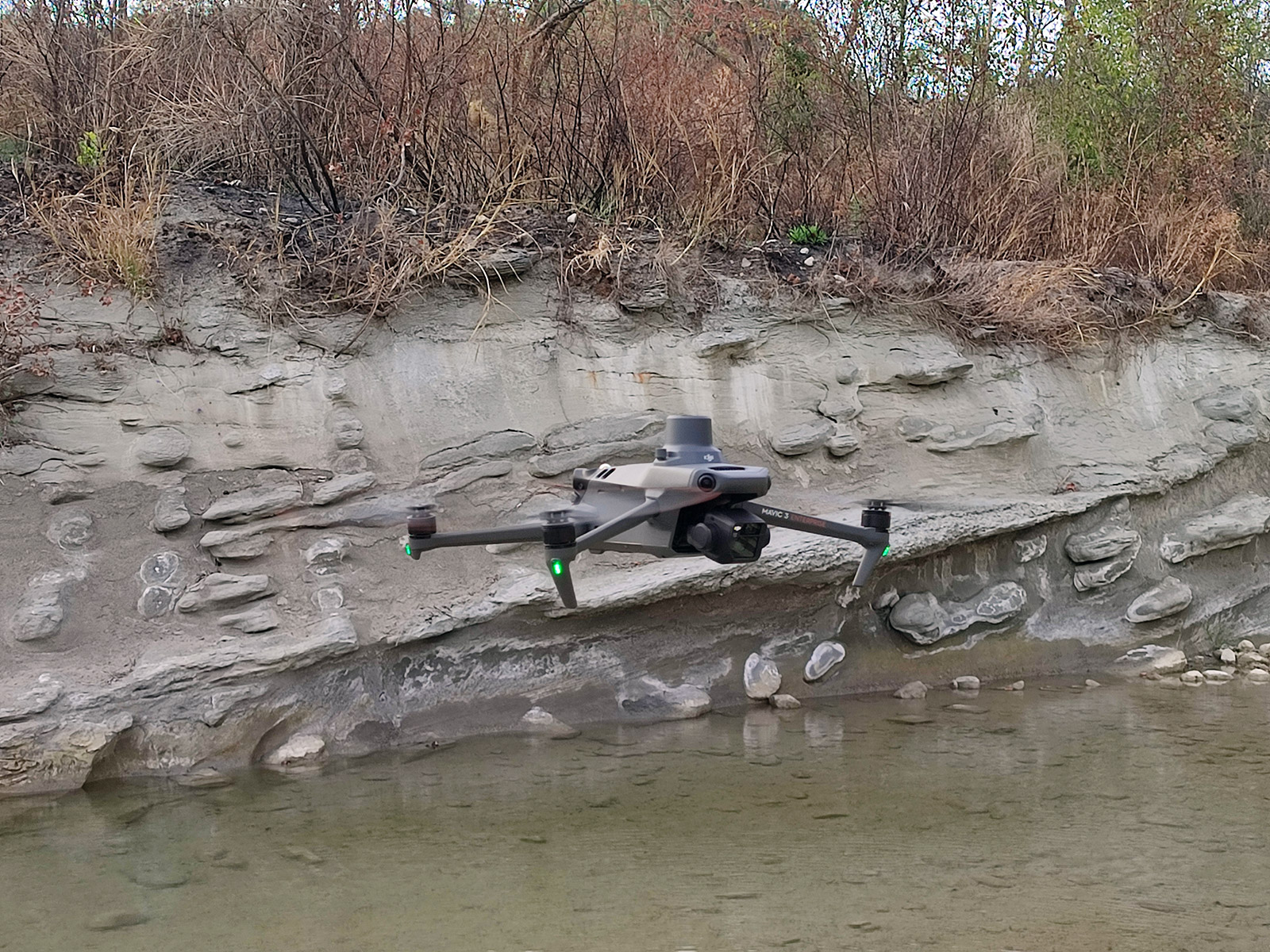
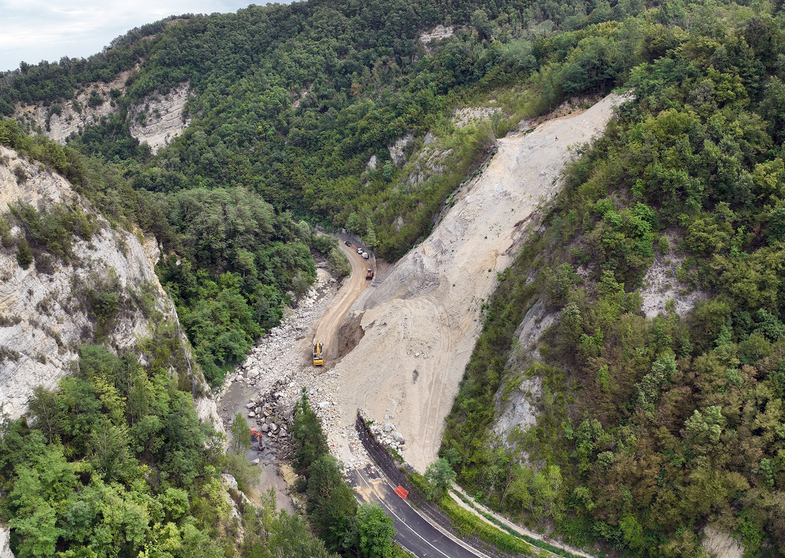
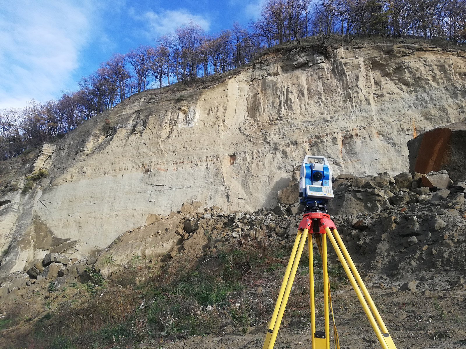
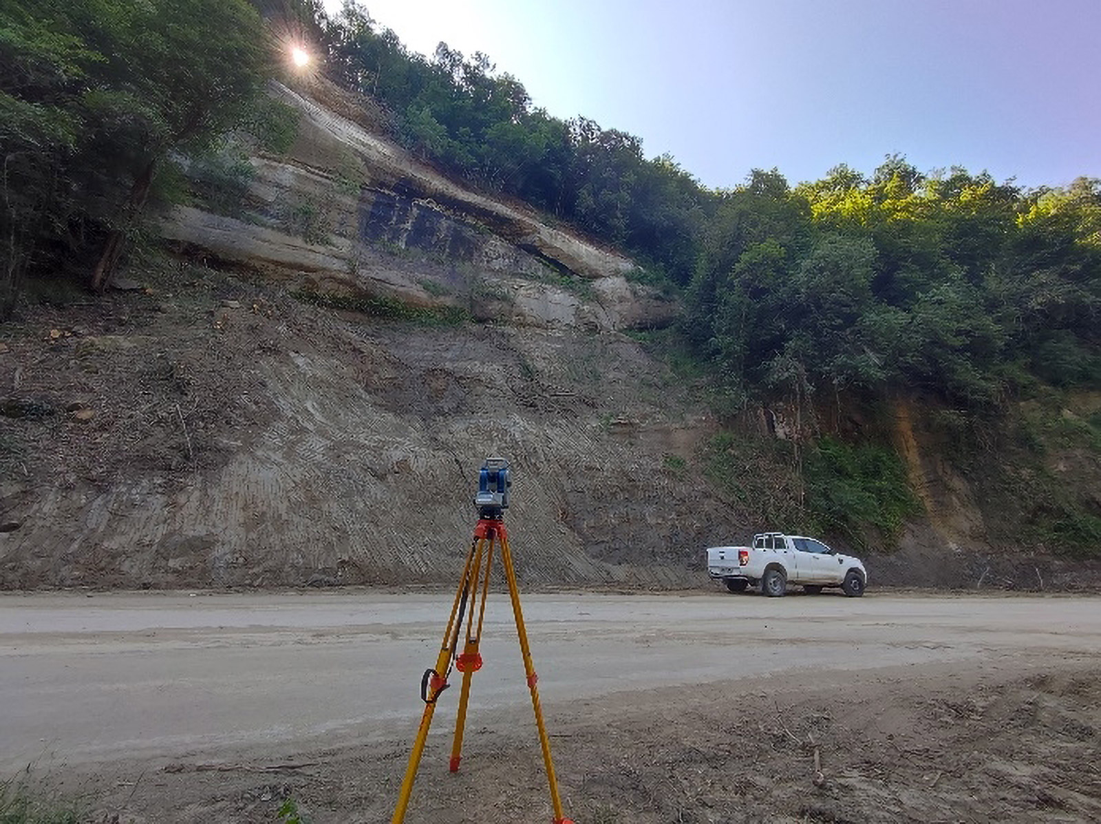
We are able to perform topographic surveys in easily accessible areas and in complex areas of hydrogeological risk (open pit quarries, surface landslides, rock collapses, riverbanks and riverbeds, debris flow, etc…)

Topography
Topography
 

In detail we are able to realize:

  • celerimetric measurements with Total Station (with and without prism) in order to obtain extremely accurate data even at long distances;
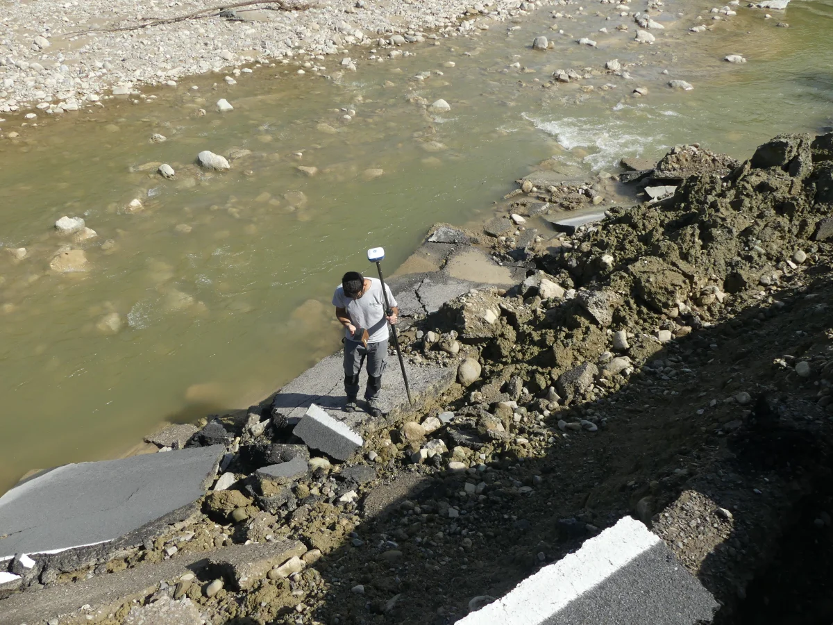
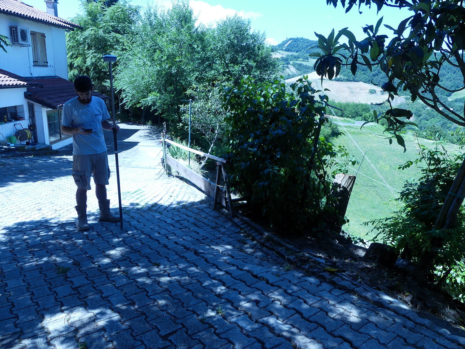
  • satellite surveys with GNSS/RTK antenna which, by integrating the functions of satellite and terrestrial localization systems, allow global plano-altimetric positioning (georeferencing) while maintaining a good degree of accuracy. The Rover GPS Antenna allows extremely fast surveying and tracking compared to traditional instrumentation.
Topography
Topography
 
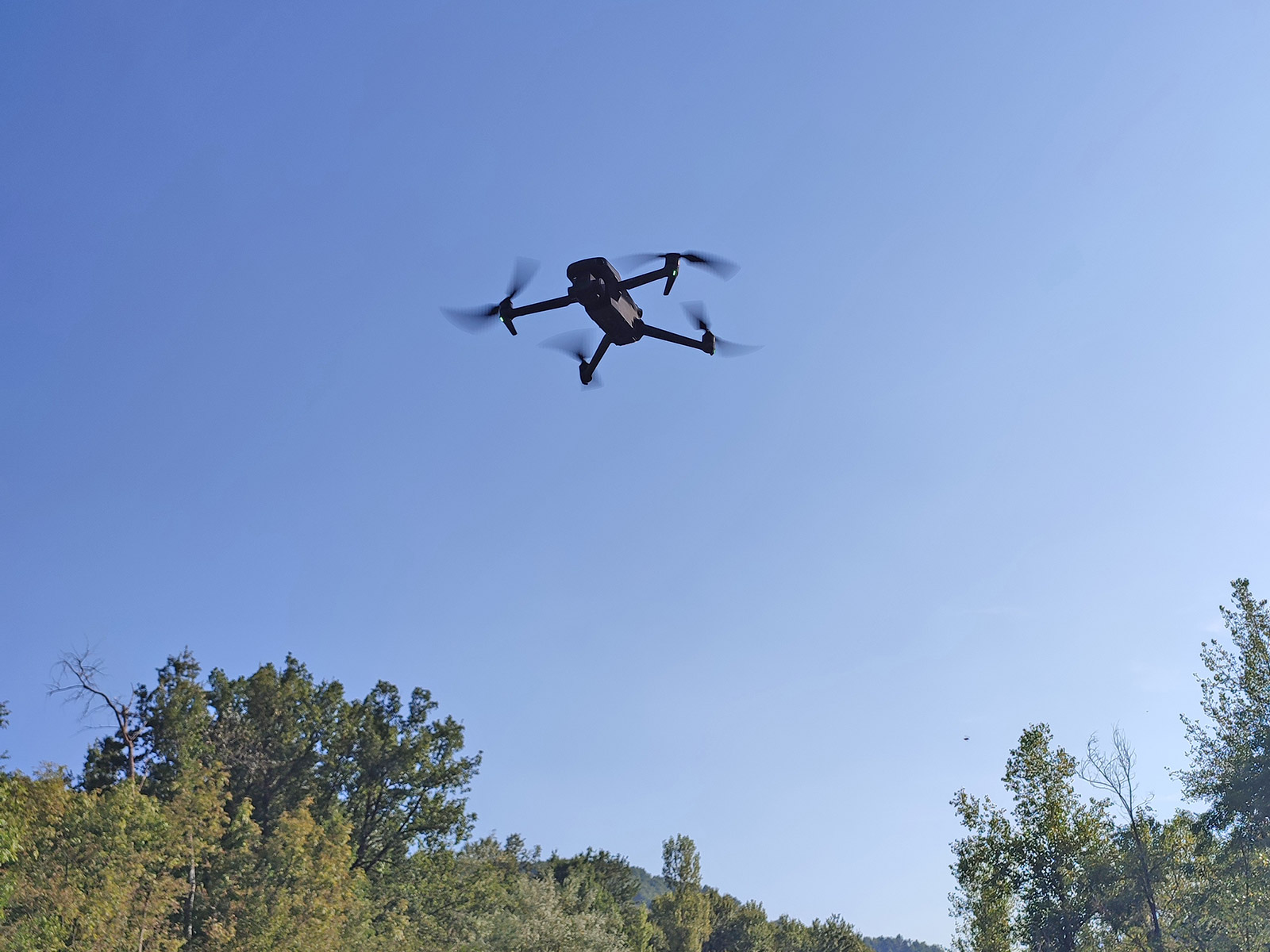
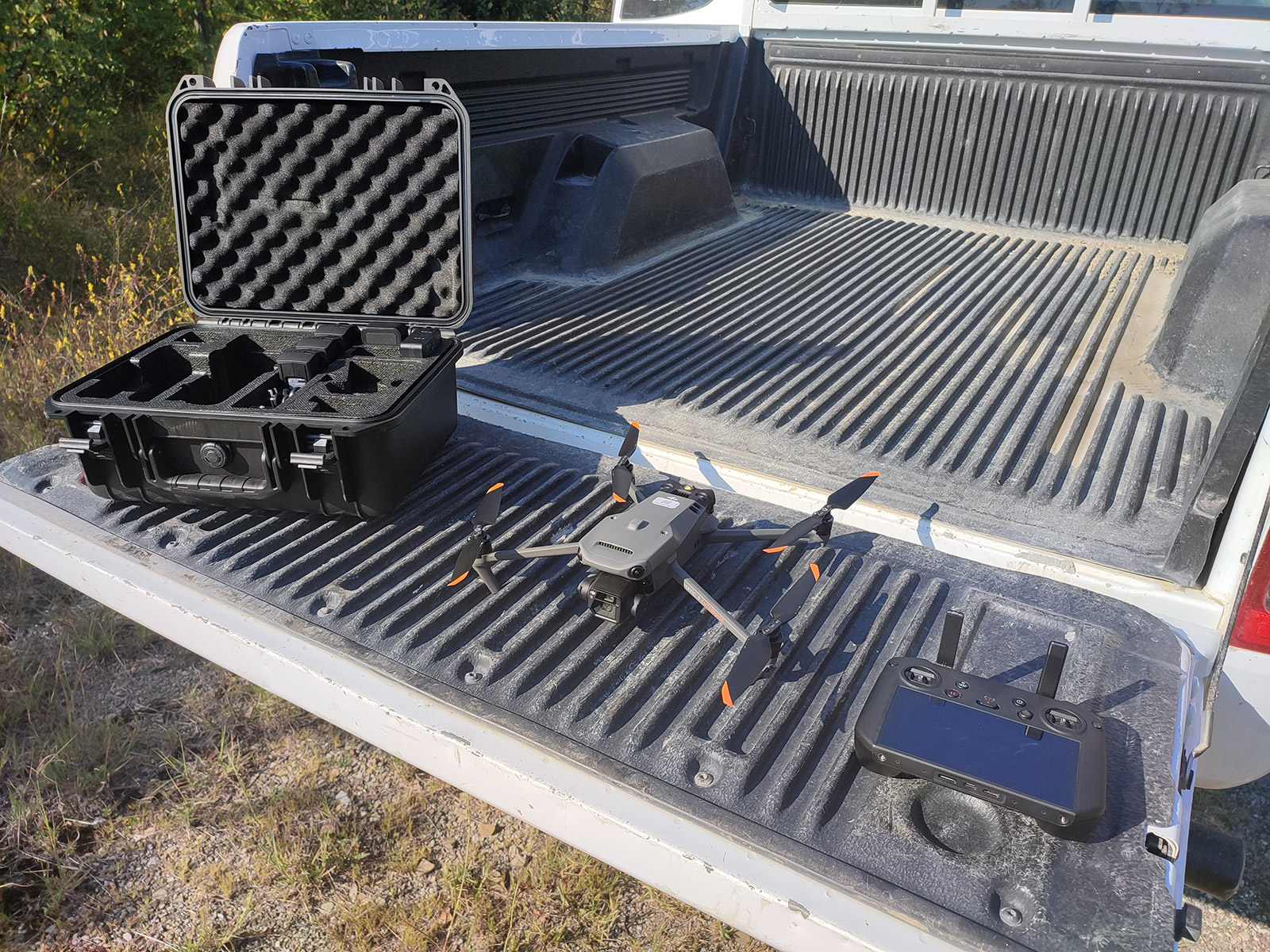
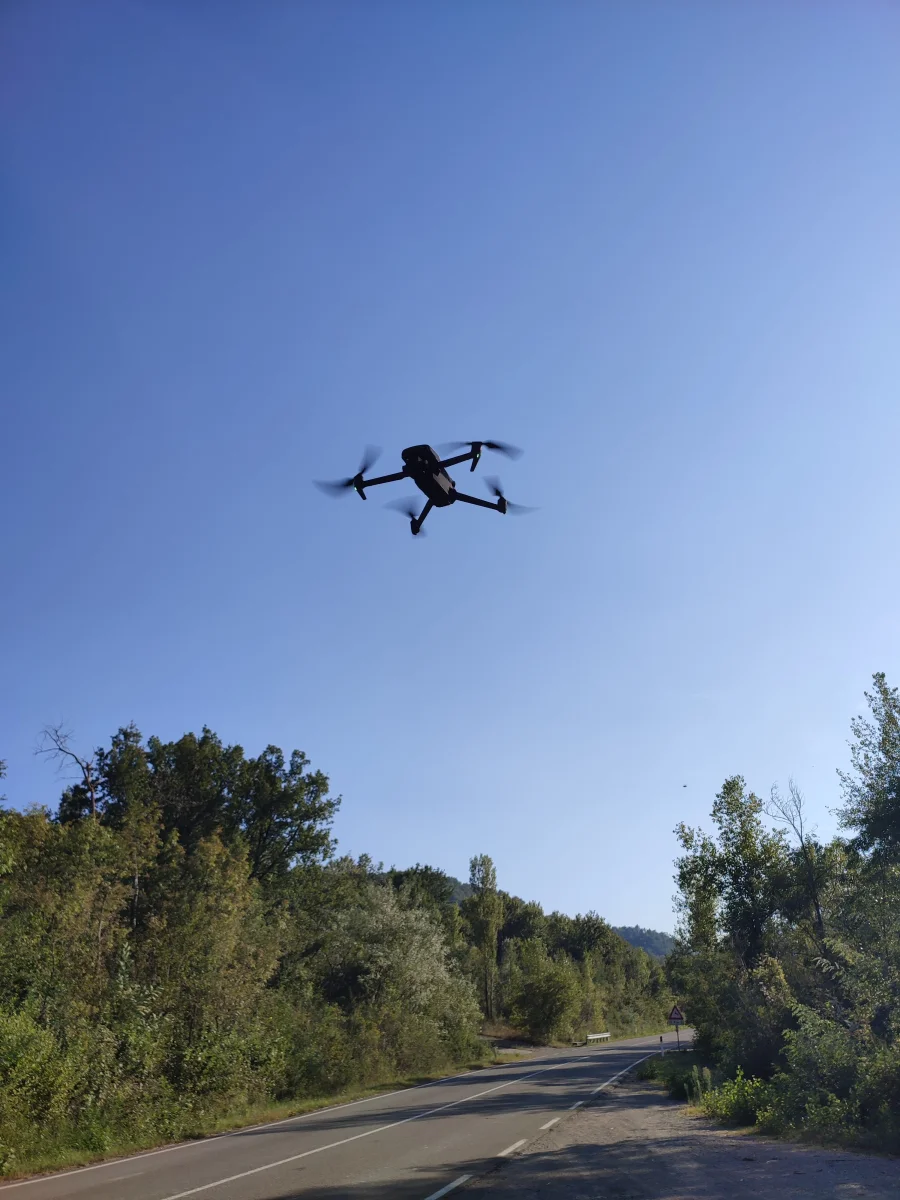
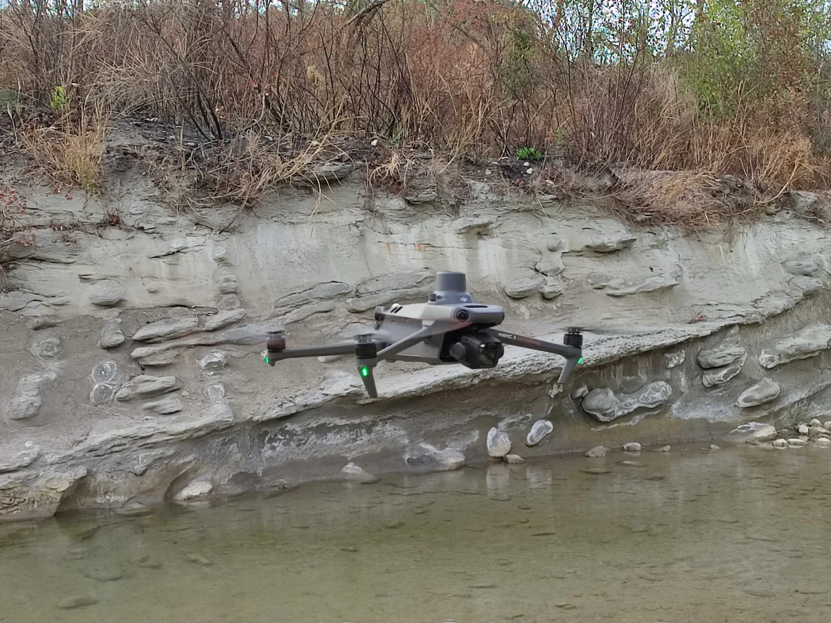
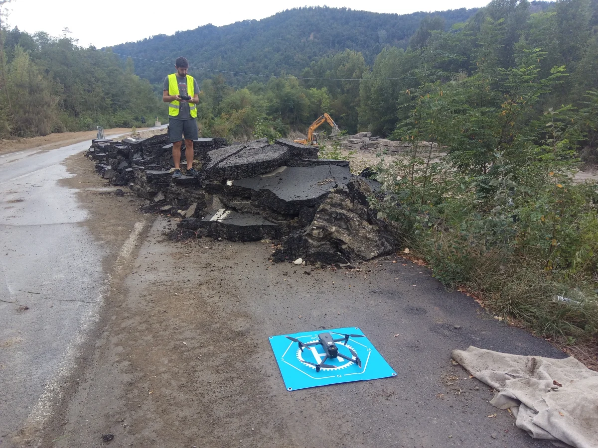
  • aero-photogrammetric drone surveys. This tool è particularly advantageous when the area to be surveyed is inaccessible and/or dangerous (landslide bodies, riverbeds, quarry areas) and/or when the area to be surveyed is very large. Thanks to the onboard equipment of a’GPS/RTK antenna, surveys can be carried out with centimeter accuracy.
 
Topography
Topography
 
Topography
Topography

With the drone è it is also possible:

  • acquire photographic images from a highly scenic perspective for landscape photo-insertions;
  • .
  • perform inspections and surveys of inaccessible areas, unsafe infrastructure, structural elements not otherwise reachable;
  • acquire images/videos on site for the State of Work Progress or periodic monitoring of areas being worked on (quarry advances)
Topography
 

The graphical restitution of the survey in three dimensions è carried out in the CAD environment with on-demand creation of contour lines, sections, elevations and calculation of 3D volumes.

Through the processing of photogrammetric data 3D models of the survey area can be generated in “obj” format and DTM digital terrain models.

Thematic cartographies in GIS environment are also processed.

Restitution of a plano elevation survey with contour lines Restitution of a plano elevation survey with contour lines
Reconstruction in GIS environment of isoconcentrations Reconstruction in GIS environment of isoconcentrations
Creating 3D contour lines Creating 3D contour lines
Processing State of Fact / Project Sections Processing State of Fact / Project Sections


Request a quote or price list


Informative

We and selected third parties use cookies or similar technologies for technical purposes and, with your consent, also for other purposes as specified in the cookie policy.
If you close this banner with a tick or click on "Decline", only technical cookies will be used. If you want to select the cookies to be installed, click on 'Customise'. If you prefer, you can consent to the use of all cookies, including cookies other than technical cookies, by clicking on "Accept all". You can change your choice at any time.